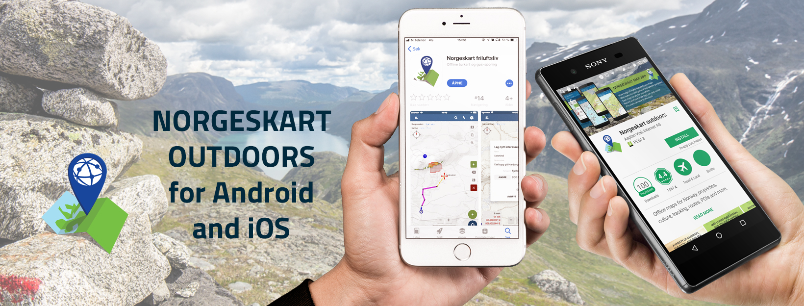
Delete your Norgeskart friluftsliv user account?
To delete your user for the Norgeskart Outdoors app, do the following:
- Press the Delete user button below.
- Log in with the e-mail and password for your user account in the dialog box that appears
- You will now be taken to a separate page where you can delete your logged-in user account by selecting “Delete user account”
If you delete your user, your user account and all associated data will be deleted from the server. You will not be able to undo this.
If you have forgotten your password, you can have it sent to you by visiting the map portal https://norgeskart.avinet.no. The forgotten password function can be found where you log in,
If you have logged in with a Google account in the app, your user account will have the same email as this one. You must then use the Forgot password as described above to receive the password associated with your account.


